Day 7: Ascend to Shira Camp


MOUNTAIN ROUTE OVERVIEW
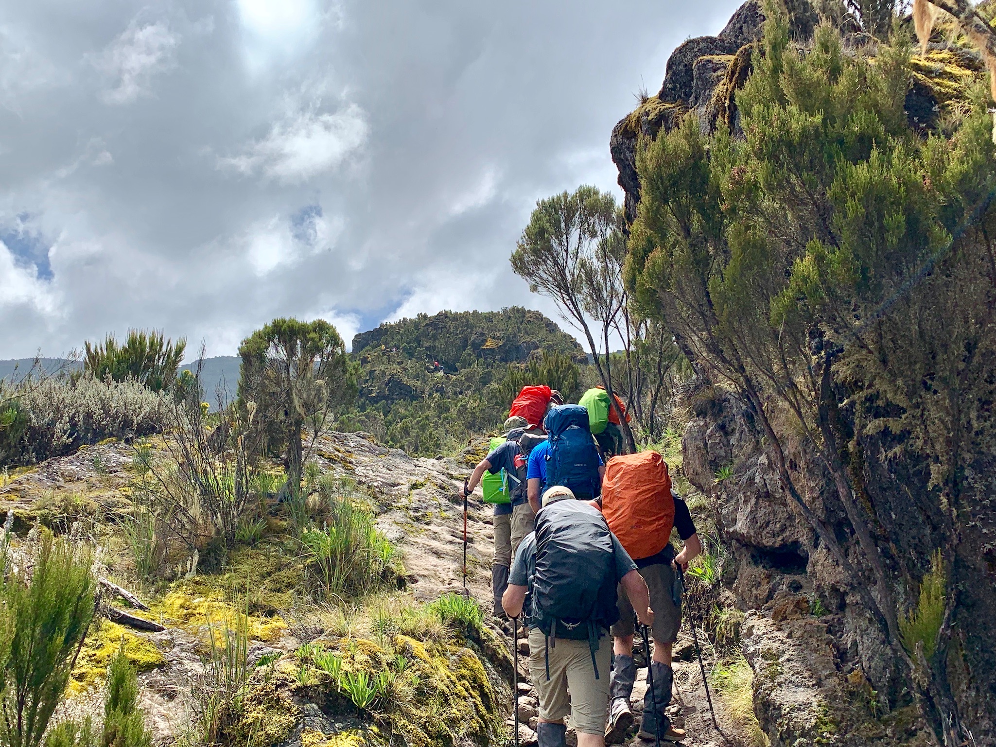
Today is a shorter day that starts with climbing up a steep ridge to a small cliff named Picnic Rock. Climbers will start in the moorland zone which is above the rainforest and clouds. As our climbers hike up the steep ridge, they’ll be rewarded with a sweeping view of Machame Camp and Machame Village. The air will become increasingly thin as they reach the halfway point and vegetation will slowly give way to black lava and sand. The trail continues up and up pst small mountain streams, rocky walls, and deep ravines. Shira Camp is in the middle of the Shira Plateau. Climbers will have views of Mount Meru and Kibo from camp is the weather is good!!
MOUNTAIN ROUTE STATS
Starting elevation 9,900 feet
Ending elevation 12,500 feet
Elevation gain 2,600 feet
Distance hiked 5 miles
Average hiking time 5 to 7 hours
JOURNAL ENTRY BY TREVOR FULCHER
Today the group woke up early to start their second day of hiking. As we were preparing to leave, all of the porters and guides began to sing and dance to traditional Kilimanjaro songs. It gave everyone a positive and exciting start to morning that we needed. The hike began in the clouds, until the team broke out into the sunlight. We could see the peak of Kilimanjaro, so everyone began to take pictures and celebrate what we had accomplished. Once we finished celebrating, we continued upward. Finally we conquered the last hill and could see the village of tents in the valley below us! Everyone let out a sigh of relief as we reached camp.