Day 4: Climb to Shira Camp

MOUNTAIN ROUTE OVERVIEW
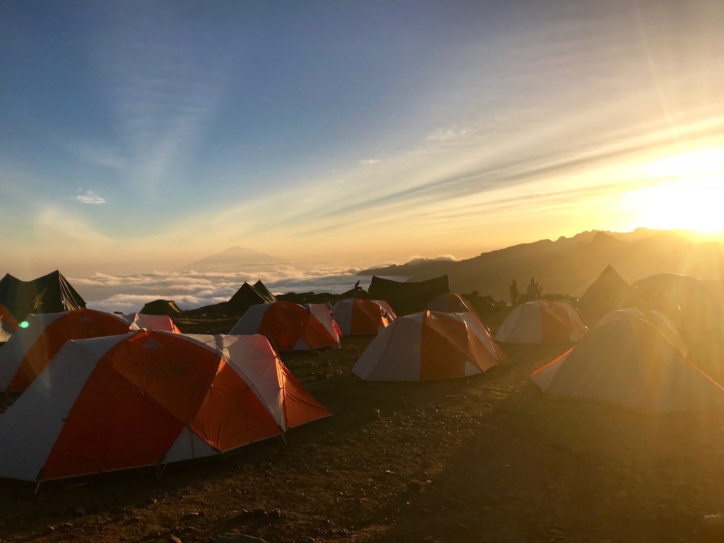
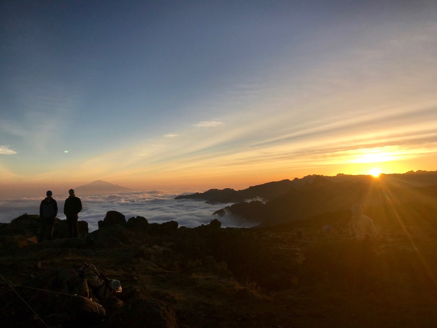
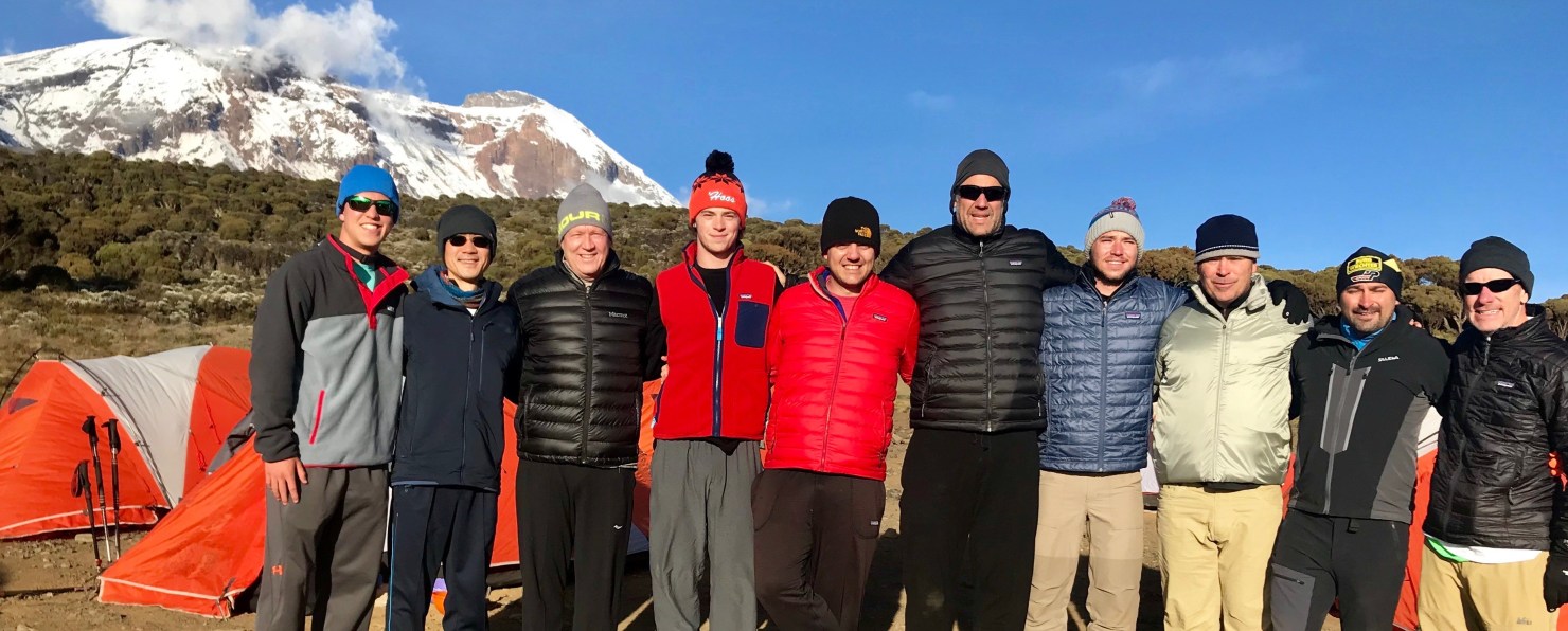
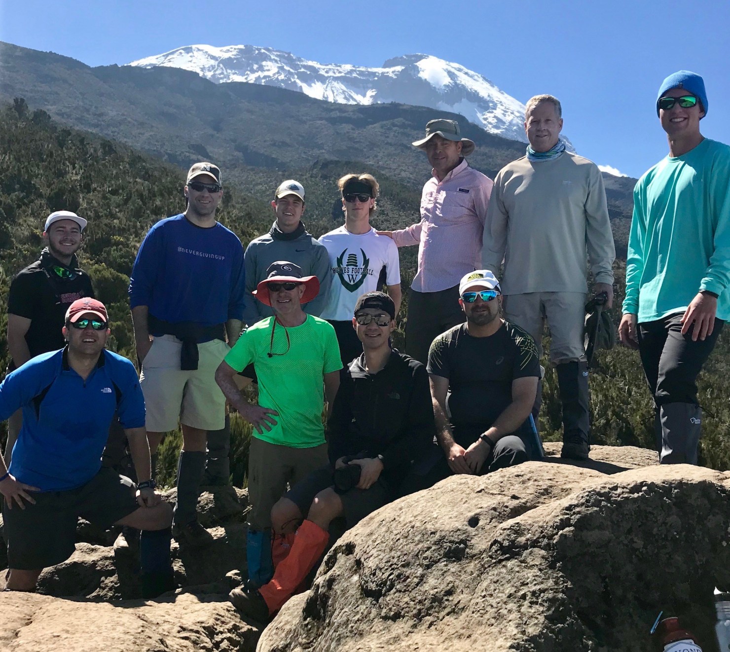
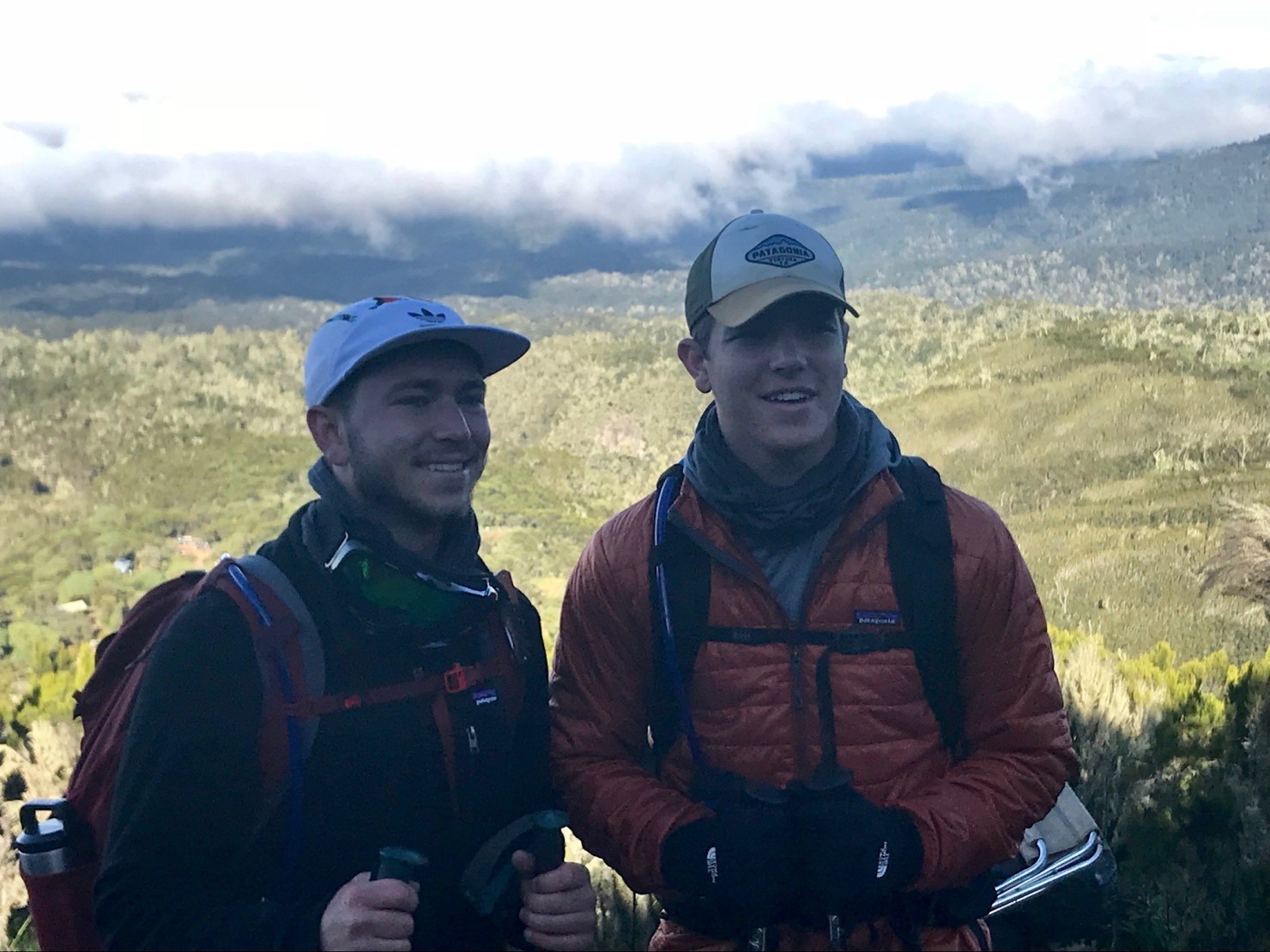
Today is a shorter day that begins by climbing up a steep ridge to reach a small semicircular cliff known as Picnic Rock. The route begins in the moorland zone, above the cloud line that rests above the forest. As our climbers hike up the steep ridge along steep rocks they will be rewarded with a magnificent view over the Machame Camp and down to Machame Village.
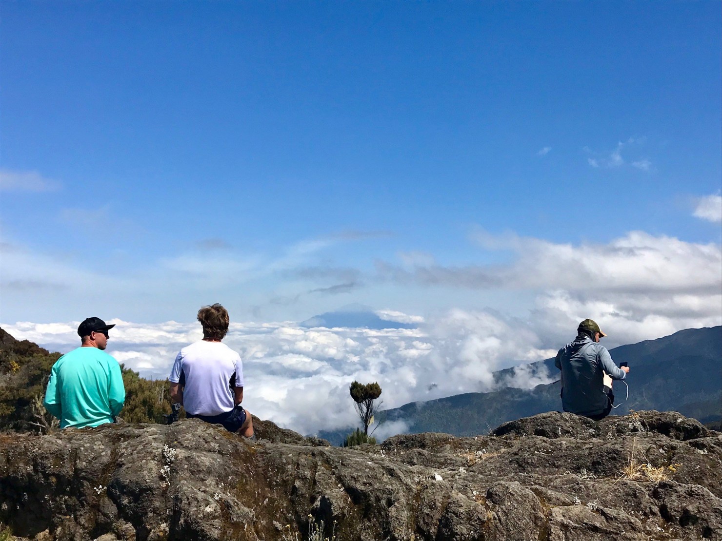
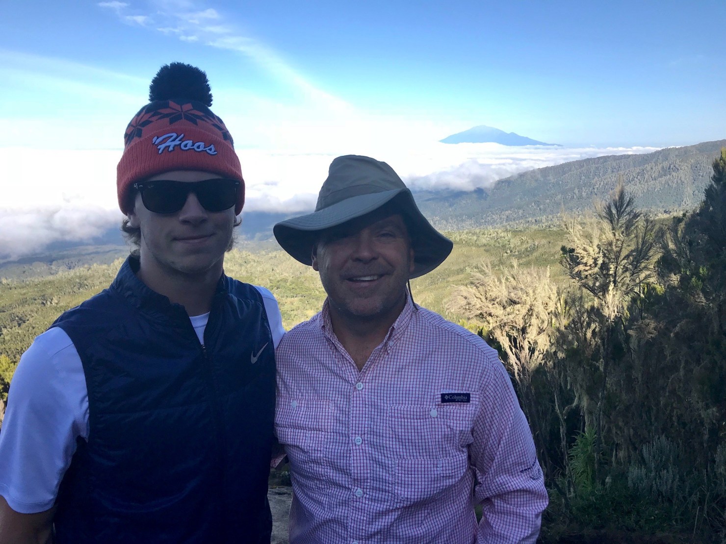
The air becomes increasingly thin as they reach the halfway break point, as vegetation slowly decreases and the black lava sand increases. Again and again, the trail moves up and down, past the small mountain streams to rocky walls and deep ravines. The Shira Camp is situated in the middle of the Shira Plateau. Views of Mount Meru from Camp, and of Kibo if they’re lucky, is spectacular.
CLIMB STATS
Begin ~ 9,900 Feet / 3,000 Meters
End ~ 12,500 Feet / 3,800 Meters
Elevation Gain 2,600 Feet
Time Average 5-7 Hours
Distance Hiked 5 Miles / 8 Km
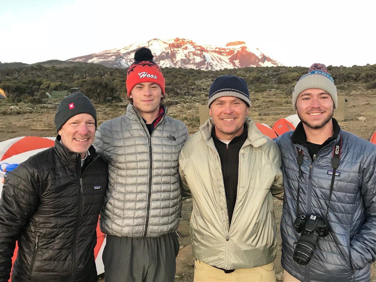
CLIMBER BLOG ENTRY
Our day began extremely early. Honestly, though most people were awake prior to our breakfast call. Thankfully I was not and actually managed to sleep better than I did at the hotel. Today’s hike wasn’t very physically taxing but towards the end everyone was definitely starting to feel the altitude. We hiked from 10,000 feet to 13,000 feet and then back down to 12,500 feet for camp. We had around 6+ hours of free time today so we started playing cards and figuring out ways to pass the time. For about 1 hour we sat in the craziest fog I have ever seen. You couldn’t see further than about 30 yards. It’s only about 7:45pm and half our group is asleep and I am stuck here writing a journal, so goodnight everyone!
Zach