
Day 4 - Machame Camp to Shira Camp
UPDATE FROM OUR TEAM
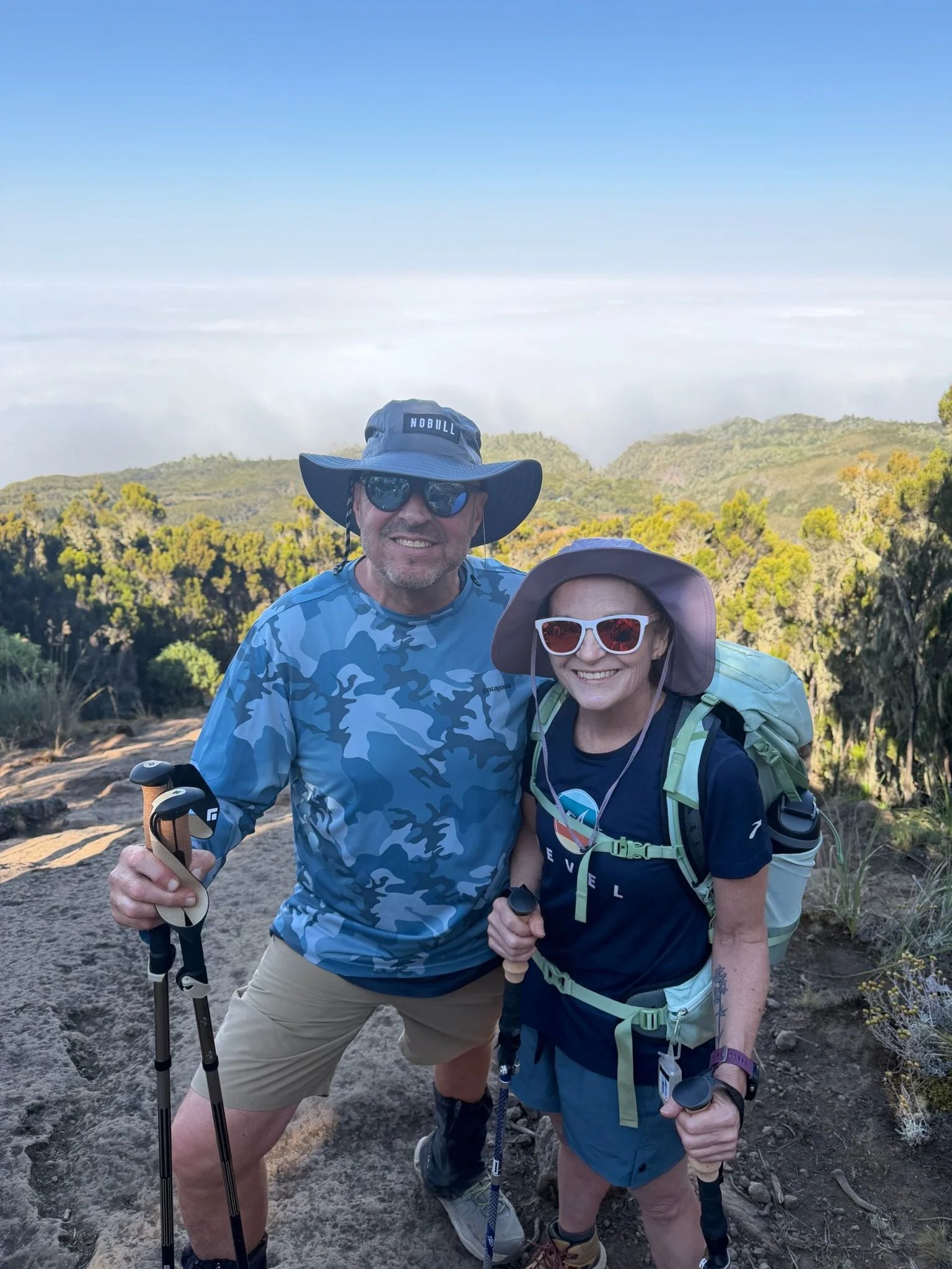
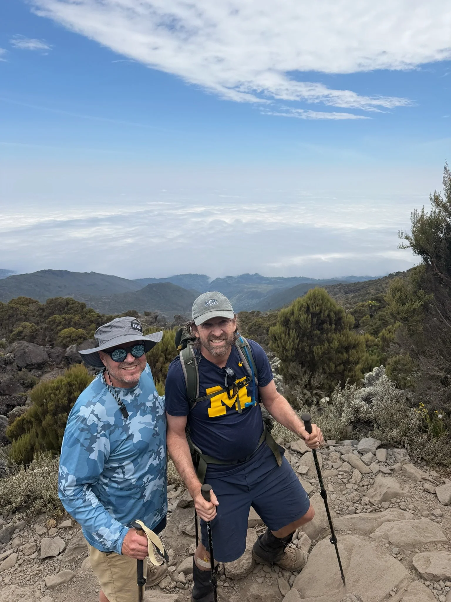
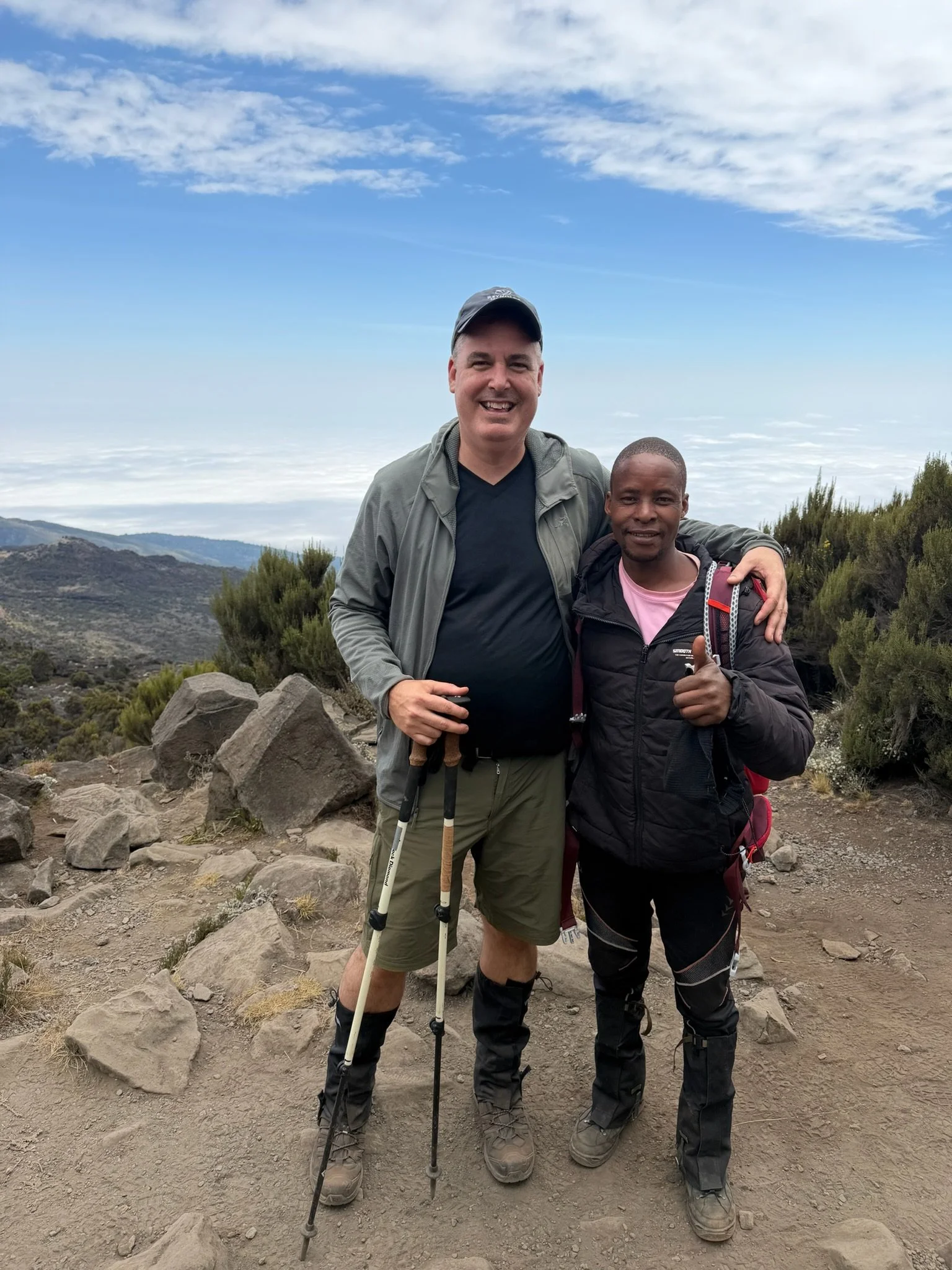
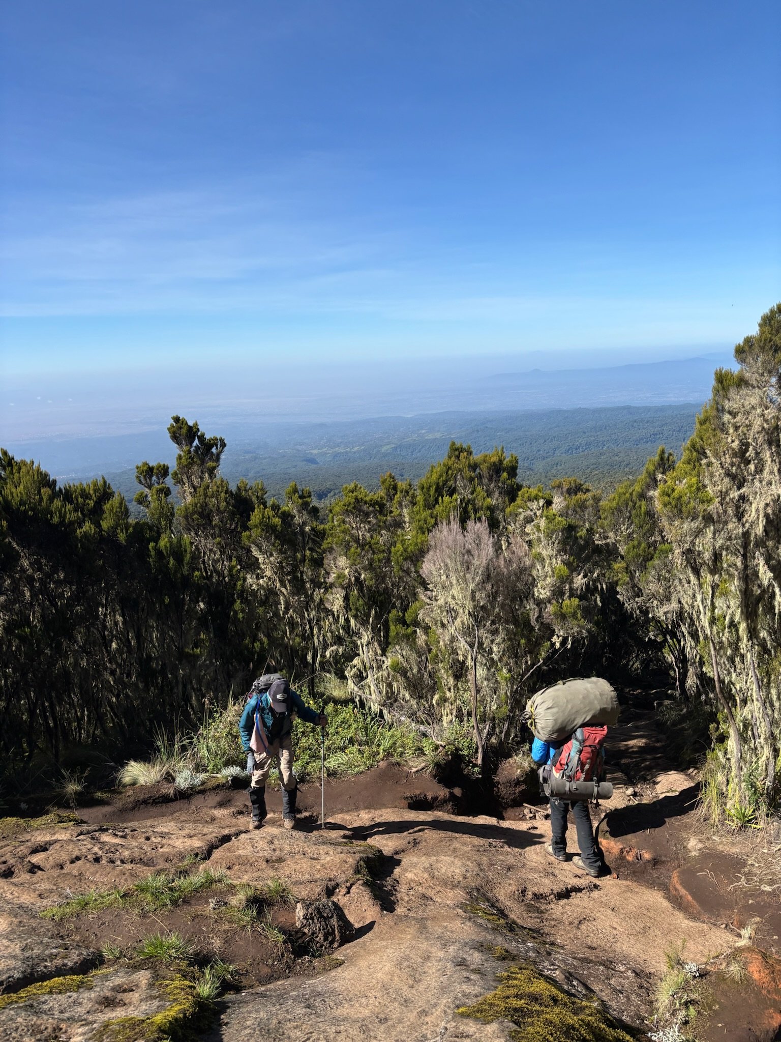
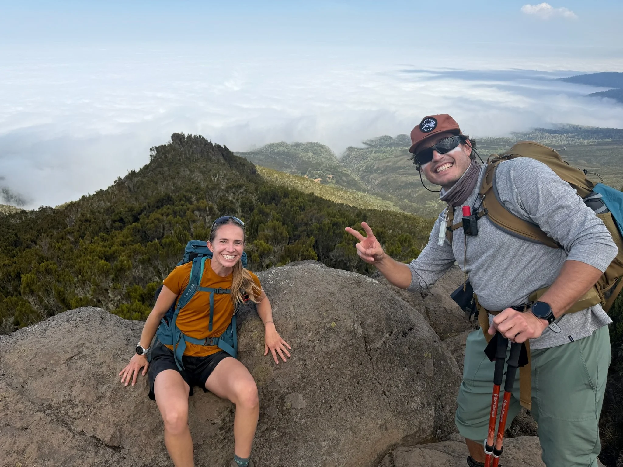
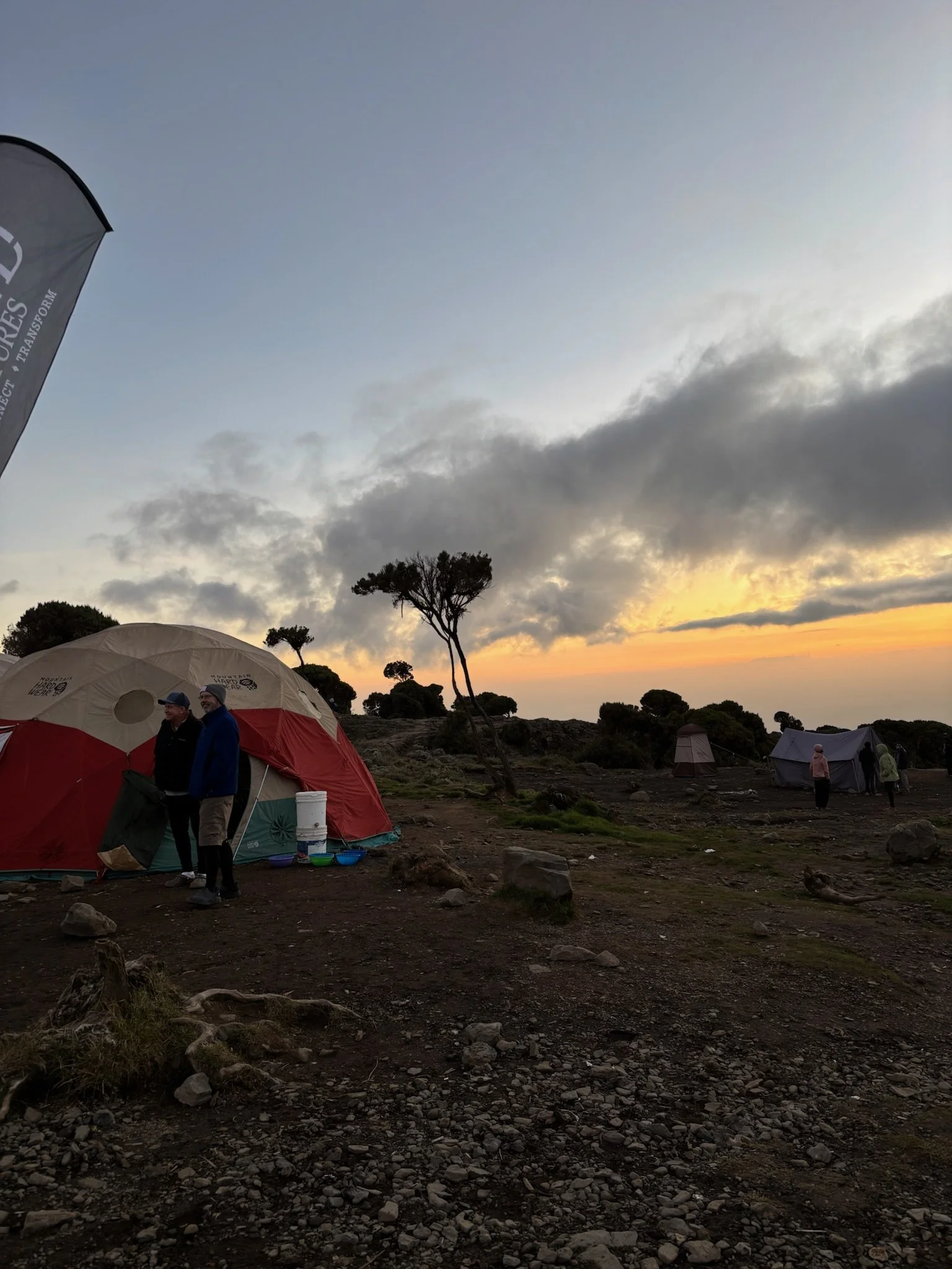
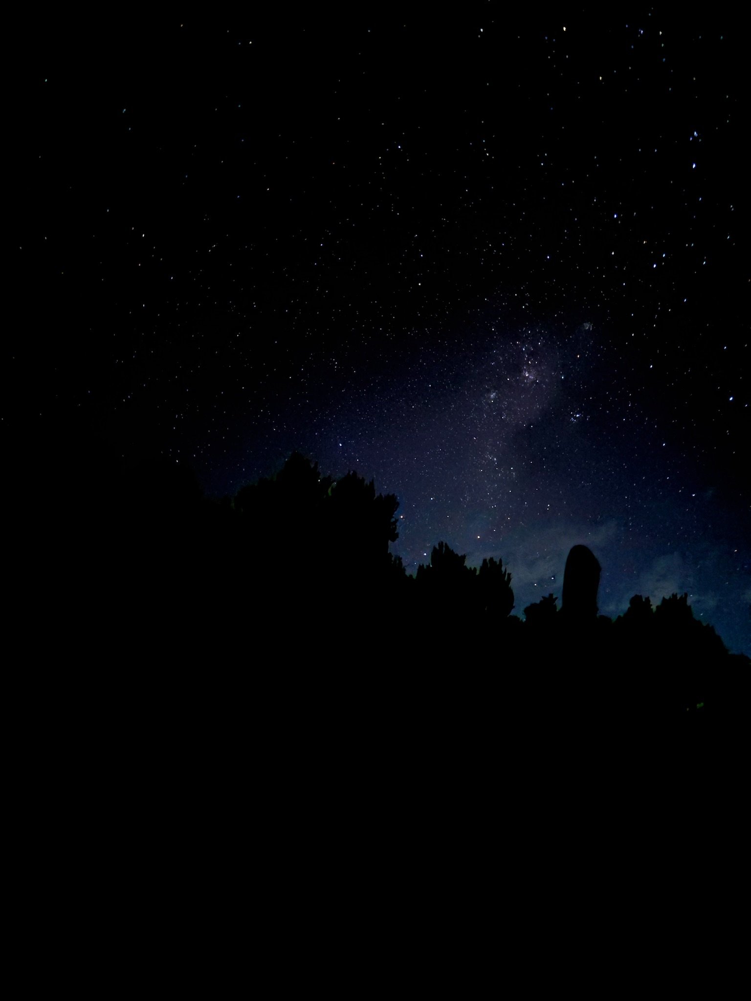
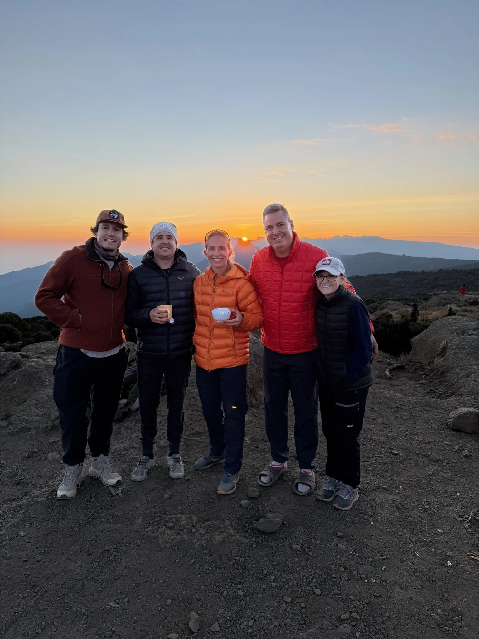
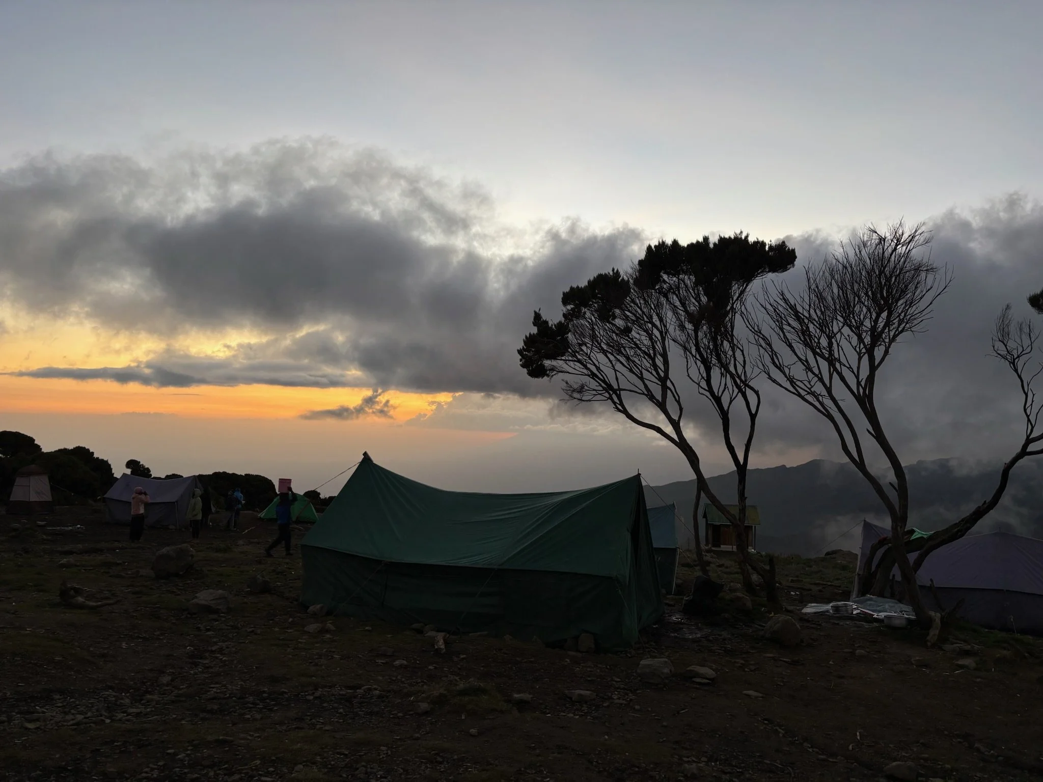
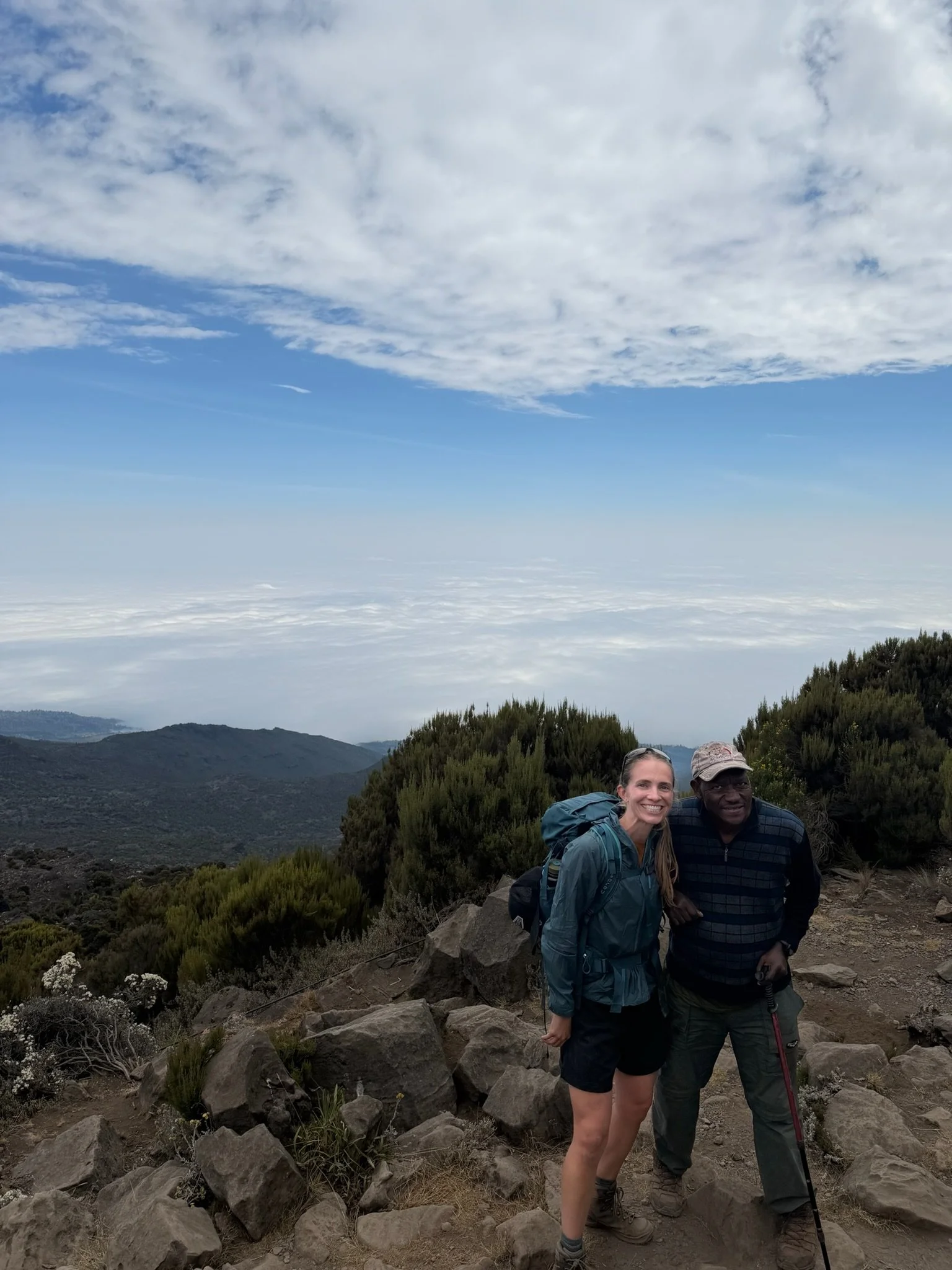
Vibes are high after day 2 on the mountain! After a lovely breakfast, the crew set out early (around 8:15am) for another 6 hour, 3 mile trek with 3000 feet of elevation gain to end at Shira Plateau Camp which sits at 12,500 feet. It was a beautiful, sunny day for today’s hike, the terrain of which stands in stark juxtaposition to the first day’s; rock-strewn, windy trails far above the cloud line as opposed to the straight vertical, dank path through an endless rainforest. After a 2pm arrival at camp, Rusty completed his first on-mountain “mile a day,” while the team enjoyed some downtime and took to reading, journaling, playing cards, and taking in the amazing view watching the mountains tumble into an endless sea of clouds. The summit is now visible and we have eyes on the target. The crew is feeling motivated to take on tomorrow’s hike and get one step closer to the goal. Salama!!
MOUNTAIN ROUTE OVERVIEW
Today is a shorter day that starts with climbing up a steep ridge to a small cliff named Picnic Rock. Climbers will start in the moorland zone which is above the rainforest and clouds. As our climbers hike up the steep ridge, they’ll be rewarded with a sweeping view of Machame Camp and Machame Village. The air will become increasingly thin as they reach the halfway point and vegetation will slowly give way to black lava and sand. The trail continues up and up pst small mountain streams, rocky walls, and deep ravines. Shira Camp is in the middle of the Shira Plateau. Climbers will have views of Mount Meru and Kibo from camp is the weather is good!!
MOUNTAIN ROUTE STATS
Starting elevation 9,900 feet
Ending elevation 12,500 feet
Elevation gain 2,600 feet
Distance hiked 5 miles
Average hiking time 5 to 7 hours