Day 4: Climb to Shira Camp
Click HERE to track the team live during their time on the mountain!
UPDATE FROM THE TEAM
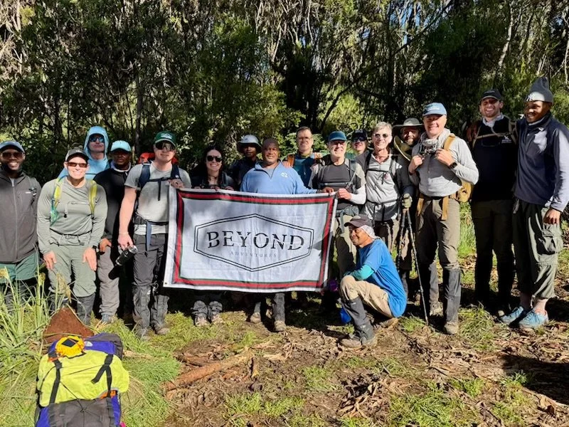
Day 2 in the books. Just under 4 miles and just over 3000 vertical. The group has truly bonded over hot meals, laughter, trail conversations, and amazing scenery. To top off our spirits, our guides and porters welcomed us to camp today with singing and dancing. Our tired bodies found the dancing therapeutic. I can’t say enough our guide/porter team. They serve us so well.
The landscape is like nothing we have ever seen. The variety of trees and rock formations has been awe inspiring. Today, we also saw the summit for the first time which brought our dreams of getting to the top that much closer.
For me, this trip has been over two years in the making. You never know how the group will form. Who would say yes to a crazy trip like this? Will the right people sign up? Will they like each other?
Tonight we sat around the table, and we recognized that no one was here by accident. God has placed each of us here for such a time as this. Wild.
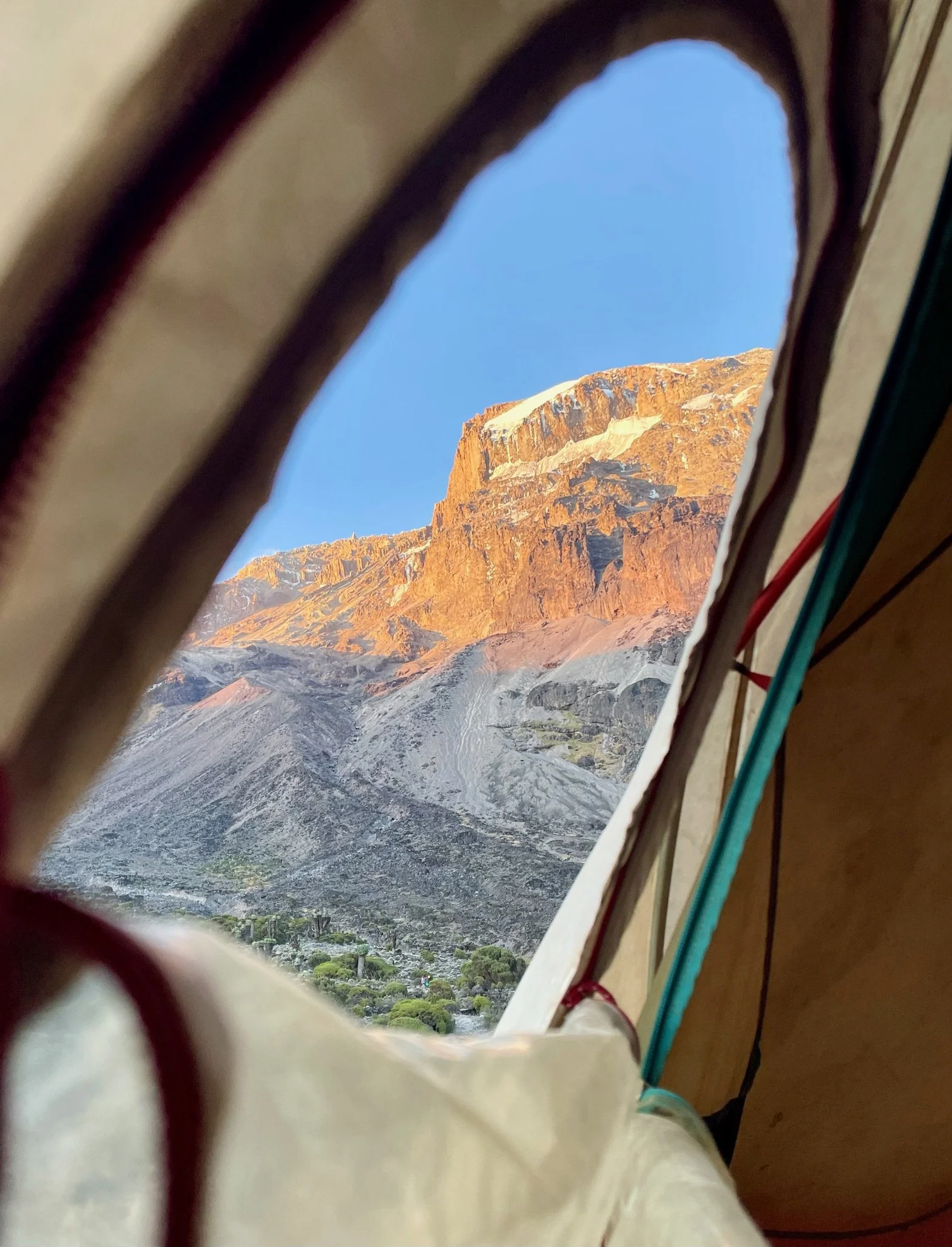
We know that Mountains are “thin places”. Places where God meets his kids. Where the distance between heaven and earth is just that much closer. We find ourselves in the middle of clouds, and sense His visible presence. We see his majesty and power as we see the world above the clouds.
Onwards to big, long, and challenging Day 3!
~ Andy Mormon
MOUNTAIN ROUTE OVERVIEW
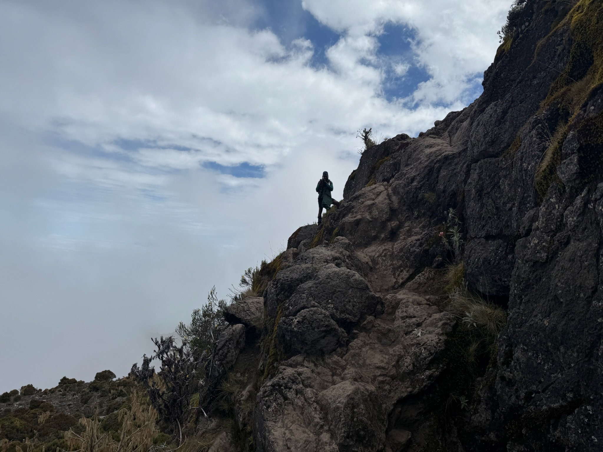
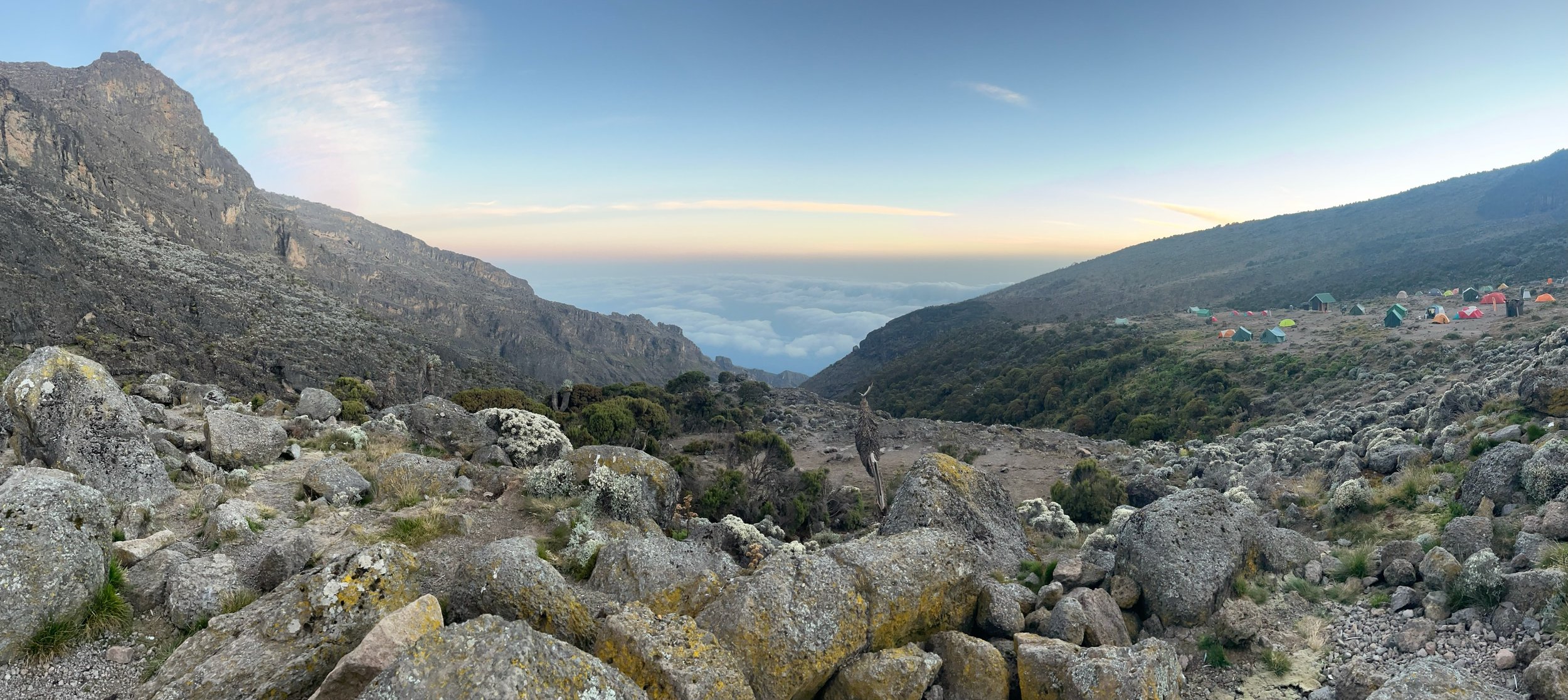
Today is a shorter day that starts with climbing up a steep ridge to a small cliff named Picnic Rock. Climbers will start in the moorland zone which is above the rainforest and clouds. As our climbers hike up the steep ridge, they’ll be rewarded with a sweeping view of Machame Camp and Machame Village. The air will become increasingly thin as they reach the halfway point and vegetation will slowly give way to black lava and sand. The trail continues up and up pst small mountain streams, rocky walls, and deep ravines. Shira Camp is in the middle of the Shira Plateau. Climbers will have views of Mount Meru and Kibo from camp is the weather is good!!
MOUNTAIN ROUTE STATS
Starting elevation 9,900 feet
Ending elevation 12,500 feet
Elevation gain 2,600 feet
Distance hiked 5 miles
Average hiking time 5 to 7 hours